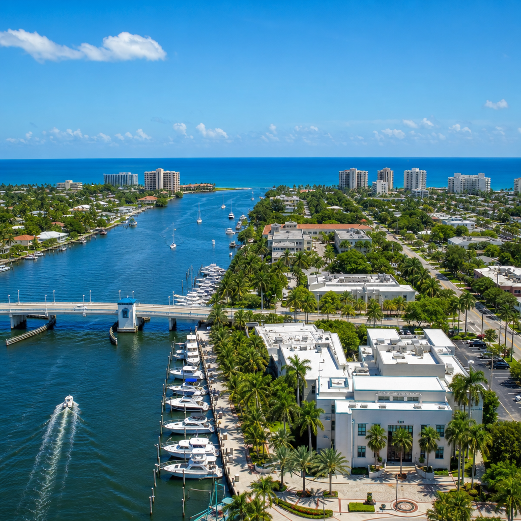
Report a concern. Track the city's response.
Send your request to the right division and follow it until the work is done.
- City GIS
- No account needed
- Live updates
For life-threatening emergencies, always call 911.
Report a concern. Track the city's response.
From potholes and flooding to streetlights and missed pickups, BBConnect routes your request to the right division and keeps you updated until the work is done.
- Powered by the City GIS
- No account required
- Live status updates
For life-threatening emergencies, always call 911.
From report to resolution, in clear view
No phone tag and no paper forms. Describe the concern, confirm the location, and follow the city's response in real time.
Pinpoint the concern
Drop a pin on the city map or share an address, add a photo, and describe what you see. Built for your phone in the field.
Routed to the right division
Your request is categorized, prioritized, and sent to the responsible division with a clear service target.
Follow the response
Track every status change and opt into text or email updates until the request is resolved and closed.
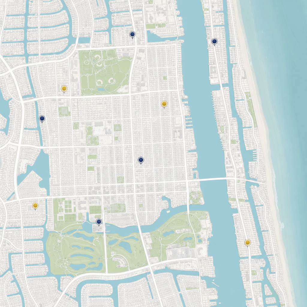
Every request, mapped to a real place
BBConnect locates each report on the city's geographic information system, so crews know exactly where to go and residents can see what is happening nearby. Explore open and resolved requests across every neighborhood.
- Accurate addresses and map pins on every request
- Division boundaries and service areas kept in sync
- Public map to browse activity in your neighborhood
What can we help with?
The most common service requests in Boynton Beach.
Recent activity
A live look at requests across the city.